-
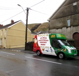
Italian colours brighten up High Street Abergwynfi
-

Tabor Independent Chapel, High Street, Abergwynfi
Italian colours brighten up High Street Abergwynfi
Tabor Independent Chapel, High Street, Abergwynfi
Other current and historical names
Location and coordinates are for the approximate centre of Abergwynfi within this administrative area. Geographic features and populated places may cross administrative borders.