-
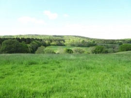
On the Macmillan Way link path
-
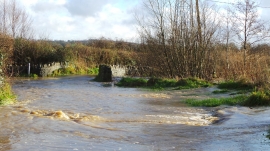
Legg Bridge Flood near Halstock
On the Macmillan Way link path
Legg Bridge Flood near Halstock
Location and coordinates are for the approximate centre of Abbot's Hill within this administrative area. Geographic features and populated places may cross administrative borders.