-
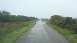
Crossroads south of Zoar
-

The Three Brothers of Crugith (or Grugwith)
Crossroads south of Zoar
The Three Brothers of Crugith (or Grugwith)
Location and coordinates are for the approximate centre of Zoar within this administrative area. Geographic features and populated places may cross administrative borders.