-
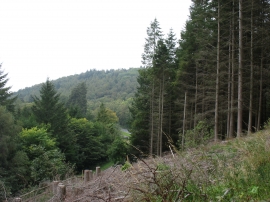
Forestry above the A470
-
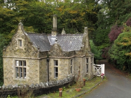
Gatehouse beside A470
Forestry above the A470
Gatehouse beside A470
Location and coordinates are for the approximate centre of Yr-allt Wood within this administrative area. Geographic features and populated places may cross administrative borders.