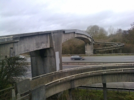
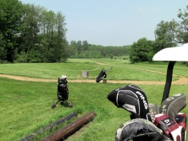
Yewtree Coppice, Basingstoke and Deane

« Gazetteer Entry
Upload Photo

Yewtree Coppice, Basingstoke and Deane

  • Parish/Community: Englefield
  • Unitary Authority: Basingstoke and Deane
  • Region: South East
  • Category: Landcover
  • Type: Forest or Wood
  • Latitude/Longitude: 51°27'0"N 1°4'42"W
  • Eastings/Northings: 464135, 172734
  • OS Grid: SU641727
  • Mapcode Local: GBR B4C.44L
  • Mapcode Global: VHCZ9.8T69

Location and coordinates are for the approximate centre of Yewtree Coppice within this administrative area. Geographic features and populated places may cross administrative borders.

BritishPlaceNames.uk is a Good Stuff website.