-

Muddy track and footpath at the west side of Great Cuddenhay Plantation
-
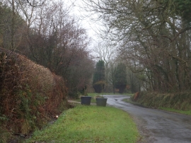
Passing Bealy Court,
Muddy track and footpath at the west side of Great Cuddenhay Plantation
Passing Bealy Court,
Location and coordinates are for the approximate centre of Yelland Plantation within this administrative area. Geographic features and populated places may cross administrative borders.