-
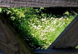
A Glimpse of Daisies
-
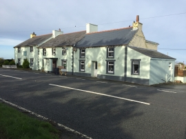
The Square and Compass
A Glimpse of Daisies
The Square and Compass
Location and coordinates are for the approximate centre of Y Sgwâr within this administrative area. Geographic features and populated places may cross administrative borders.