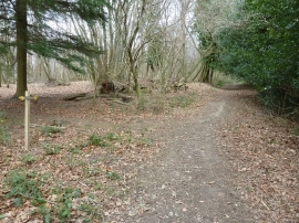
Wyatt Wood, East Sussex

« Gazetteer Entry
Upload Photo

Wyatt Wood, East Sussex

  • Parish/Community: Buxted
  • District/Borough: Wealden
  • County: East Sussex
  • Region: South East
  • Category: Landcover
  • Type: Forest or Wood
  • Latitude/Longitude: 51°1'13"N 0°6'56"E
  • Eastings/Northings: 548481, 126683
  • OS Grid: TQ484266
  • Mapcode Local: GBR LPM.S29
  • Mapcode Global: FRA C64F.0VY

Location and coordinates are for the approximate centre of Wyatt Wood within this administrative area. Geographic features and populated places may cross administrative borders.

BritishPlaceNames.uk is a Good Stuff website.