-
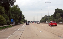
M25 past Muggeridge Wood
-
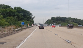
M25 passing over farm track
M25 past Muggeridge Wood
M25 passing over farm track
Location and coordinates are for the approximate centre of Wrens Hill Wood within this administrative area. Geographic features and populated places may cross administrative borders.