-

Top of Caveley Copse
-
Bus in a chalk pit
Top of Caveley Copse
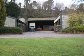
Bus in a chalk pit
Location and coordinates are for the approximate centre of Woodwalk Gully within this administrative area. Geographic features and populated places may cross administrative borders.