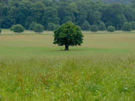
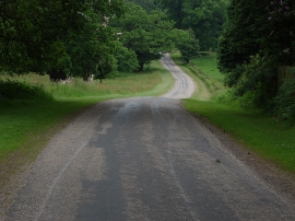
Woodcock Pen Covert, South Bucks

« Gazetteer Entry
Upload Photo

Woodcock Pen Covert, South Bucks

  • Parish/Community: Old Windsor
  • Unitary Authority: South Bucks
  • Region: South East
  • Category: Landcover
  • Type: Forest or Wood
  • Latitude/Longitude: 51°25'58"N 0°37'58"W
  • Eastings/Northings: 495140, 171306
  • OS Grid: SU951713
  • Mapcode Local: GBR F94.2TV
  • Mapcode Global: VHFTM.Z7BY

Location and coordinates are for the approximate centre of Woodcock Pen Covert within this administrative area. Geographic features and populated places may cross administrative borders.

BritishPlaceNames.uk is a Good Stuff website.