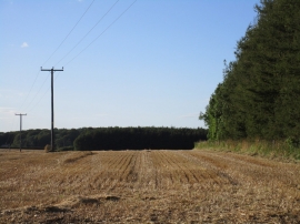
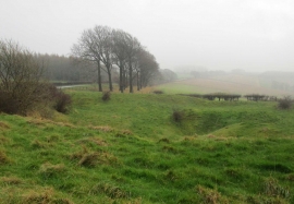
Woo Dale, North Yorkshire

« Gazetteer Entry
Upload Photo

Woo Dale, North Yorkshire

  • Parish/Community: Thixendale
  • District/Borough: Hambleton
  • County: North Yorkshire
  • Region: Yorkshire and the Humber
  • Category: Geographic Feature
  • Type: Valley
  • Latitude/Longitude: 54°1'37"N 0°44'16"W
  • Eastings/Northings: 482769, 459746
  • OS Grid: SE827597
  • Mapcode Local: GBR RP9W.04
  • Mapcode Global: WHFC2.M1SL

Location and coordinates are for the approximate centre of Woo Dale within this administrative area. Geographic features and populated places may cross administrative borders.

BritishPlaceNames.uk is a Good Stuff website.