-

New Housing in Remote Location
-
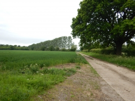
Bridleway near West End
New Housing in Remote Location
Bridleway near West End
Location and coordinates are for the approximate centre of Wingwood Copse within this administrative area. Geographic features and populated places may cross administrative borders.