-
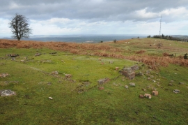
Remains of a building on Garway Hill
-
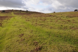
Garway Hill
Remains of a building on Garway Hill
Garway Hill
Location and coordinates are for the approximate centre of Wilds Wood within this administrative area. Geographic features and populated places may cross administrative borders.