-

Chiltern Way at Wigginton
-
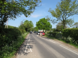
Chicane at entry to Wigginton
Chiltern Way at Wigginton
Chicane at entry to Wigginton
Location and coordinates are for the approximate centre of Wigginton Bottom within this administrative area. Geographic features and populated places may cross administrative borders.