-
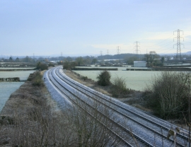
2010 : Railway line between Westbury and the south west
-
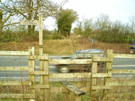
Footpath to Beckington crossing the A361
2010 : Railway line between Westbury and the south west
Footpath to Beckington crossing the A361
Location and coordinates are for the approximate centre of Whittaker's Tyning Wood within this administrative area. Geographic features and populated places may cross administrative borders.