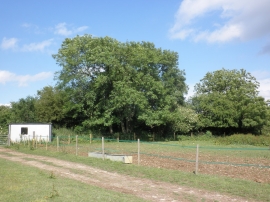
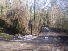
Whitelands Shaw, Kent

« Gazetteer Entry
Upload Photo

Whitelands Shaw, Kent

  • Parish/Community: Westerham
  • District/Borough: Sevenoaks
  • County: Kent
  • Region: South East
  • Category: Landcover
  • Type: Forest or Wood
  • Latitude/Longitude: 51°17'8"N 0°3'21"E
  • Eastings/Northings: 543469, 156056
  • OS Grid: TQ434560
  • Mapcode Local: GBR NY.SWD
  • Mapcode Global: VHHPH.XYDB

Location and coordinates are for the approximate centre of Whitelands Shaw within this administrative area. Geographic features and populated places may cross administrative borders.

BritishPlaceNames.uk is a Good Stuff website.