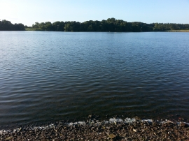
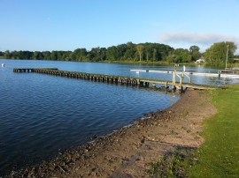
White Mere, Shropshire

« Gazetteer Entry
Upload Photo

White Mere, Shropshire

  • Parish/Community: Ellesmere Rural
  • Unitary Authority: Shropshire
  • Region: West Midlands
  • Category: Water Feature
  • Type: Inland Water
  • Latitude/Longitude: 52°53'26"N 2°52'16"W
  • Eastings/Northings: 341473, 332937
  • OS Grid: SJ414329
  • Mapcode Local: GBR 7B.PYX0
  • Mapcode Global: WH89S.VLWS

Location and coordinates are for the approximate centre of White Mere within this administrative area. Geographic features and populated places may cross administrative borders.

BritishPlaceNames.uk is a Good Stuff website.