-
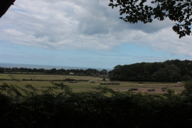
Norfolk Coast Path near West Runton
-
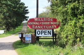
Hillside Animal & Shire Horse Sanctuary, West Runton
Norfolk Coast Path near West Runton
Hillside Animal & Shire Horse Sanctuary, West Runton
Location and coordinates are for the approximate centre of White Barn Covert within this administrative area. Geographic features and populated places may cross administrative borders.