-
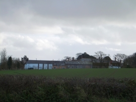
Farm buildings at Beech Hill
-
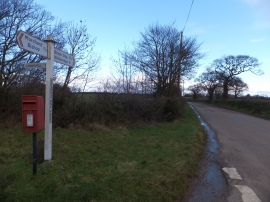
The road to Brownstone from Brownstone Post
Farm buildings at Beech Hill
The road to Brownstone from Brownstone Post
Location and coordinates are for the approximate centre of Whet Copse within this administrative area. Geographic features and populated places may cross administrative borders.