-

Fields in the Lea Valley
-
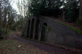
Nickey Line, old abutments
Fields in the Lea Valley
Nickey Line, old abutments
Location and coordinates are for the approximate centre of Westfield Wood within this administrative area. Geographic features and populated places may cross administrative borders.