-
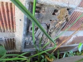
Ordnance Survey Flush Bracket G3201
-
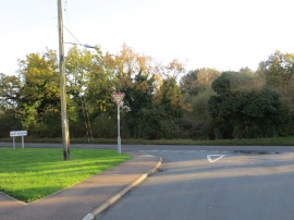
Groveside joining the A148 as it enters East Rudham
Ordnance Survey Flush Bracket G3201
Groveside joining the A148 as it enters East Rudham
Location and coordinates are for the approximate centre of West Rudham Common within this administrative area. Geographic features and populated places may cross administrative borders.