-
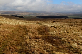
Bridleway on Hard Rigg
-
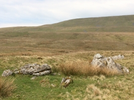
Boulders above Hard Rigg
Bridleway on Hard Rigg
Boulders above Hard Rigg
Location and coordinates are for the approximate centre of West Fell End Moss within this administrative area. Geographic features and populated places may cross administrative borders.