-
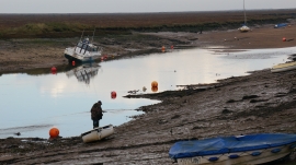
Low tide at Wells Next the Sea
-
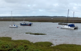
Boats moored on Stonemeal Creek
Low tide at Wells Next the Sea
Boats moored on Stonemeal Creek
Location and coordinates are for the approximate centre of Wells Salt Marshes within this administrative area. Geographic features and populated places may cross administrative borders.