-
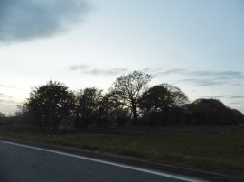
Clump of trees by Standon Road, Broken Green
-
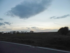
Dusk over Hadham Road, Horse Cross
Clump of trees by Standon Road, Broken Green
Dusk over Hadham Road, Horse Cross
Other current and historical names
Location and coordinates are for the approximate centre of Wellpond Green within this administrative area. Geographic features and populated places may cross administrative borders.