-
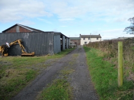
Springkell, Aspatria
-
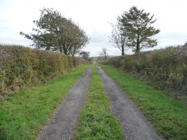
Hindrigg, north of Aspatria
Springkell, Aspatria
Hindrigg, north of Aspatria
Location and coordinates are for the approximate centre of Wellington Woods within this administrative area. Geographic features and populated places may cross administrative borders.