-
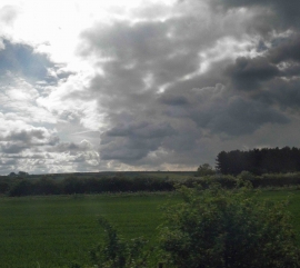
Wood near Barnetby station
-
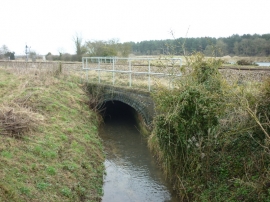
A stream goes under the rail lines near Barnetby le Wold
Wood near Barnetby station
A stream goes under the rail lines near Barnetby le Wold
Location and coordinates are for the approximate centre of Wellholmes Holt within this administrative area. Geographic features and populated places may cross administrative borders.