-
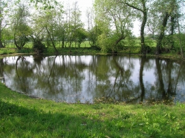
Duck pond, Holtby
-
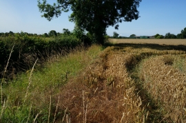
Looking south from Rudcarr Lane
Duck pond, Holtby
Looking south from Rudcarr Lane
Location and coordinates are for the approximate centre of Weir Pond within this administrative area. Geographic features and populated places may cross administrative borders.