-
Weedon Lane, Hyde Heath
-

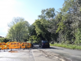
Keepers Lane at the junction of Weedon Hill
Weedon Lane, Hyde Heath
Keepers Lane at the junction of Weedon Hill
Location and coordinates are for the approximate centre of Weedonhill Green within this administrative area. Geographic features and populated places may cross administrative borders.