-
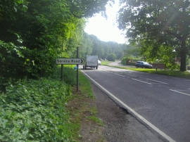
Winchester Road, Four Marks
-
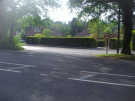
Entrance to The Shrave, Four Marks
Winchester Road, Four Marks
Entrance to The Shrave, Four Marks
Location and coordinates are for the approximate centre of Weathermore Copse within this administrative area. Geographic features and populated places may cross administrative borders.