-
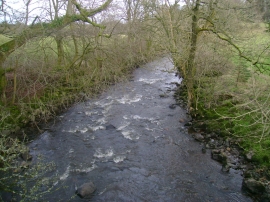
White Cart Water from Waterfoot Bridge
-
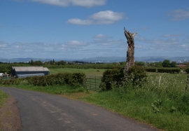
Dead tree by minor road
White Cart Water from Waterfoot Bridge
Dead tree by minor road
Location and coordinates are for the approximate centre of Waterfoot within this administrative area. Geographic features and populated places may cross administrative borders.