-
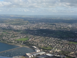
Edinburgh from over the Firth of Forth
-
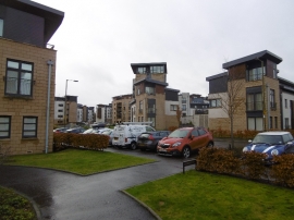
East Pilton Farm Wynd
Edinburgh from over the Firth of Forth
East Pilton Farm Wynd
Location and coordinates are for the approximate centre of Wardie within this administrative area. Geographic features and populated places may cross administrative borders.