-

Tree lined road near Springhead Farm, Burwell
-
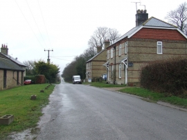
Houses On Heath Road
Tree lined road near Springhead Farm, Burwell
Houses On Heath Road
Location and coordinates are for the approximate centre of Warbraham Wood within this administrative area. Geographic features and populated places may cross administrative borders.