-
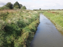
River Parrett, at Stathe
-
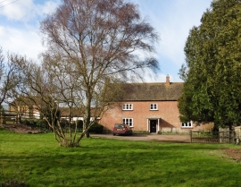
Stathe Farm
River Parrett, at Stathe
Stathe Farm
Location and coordinates are for the approximate centre of War Moor within this administrative area. Geographic features and populated places may cross administrative borders.