-
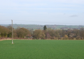
Walton from Walton Hurst
-
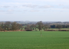
Farmland near Walton Hurst
Walton from Walton Hurst
Farmland near Walton Hurst
Location and coordinates are for the approximate centre of Waltonbank Wood within this administrative area. Geographic features and populated places may cross administrative borders.