-

Aldi Supermarket - Walton
-
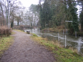
Stone Canoe Course
Aldi Supermarket - Walton
Stone Canoe Course
Location and coordinates are for the approximate centre of Walton within this administrative area. Geographic features and populated places may cross administrative borders.