-

House on Foljambe Avenue, Walton, Chesterfield
-
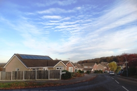
Linton Road, Walton, Chesterfield
House on Foljambe Avenue, Walton, Chesterfield
Linton Road, Walton, Chesterfield
Location and coordinates are for the approximate centre of Walton Plantation within this administrative area. Geographic features and populated places may cross administrative borders.