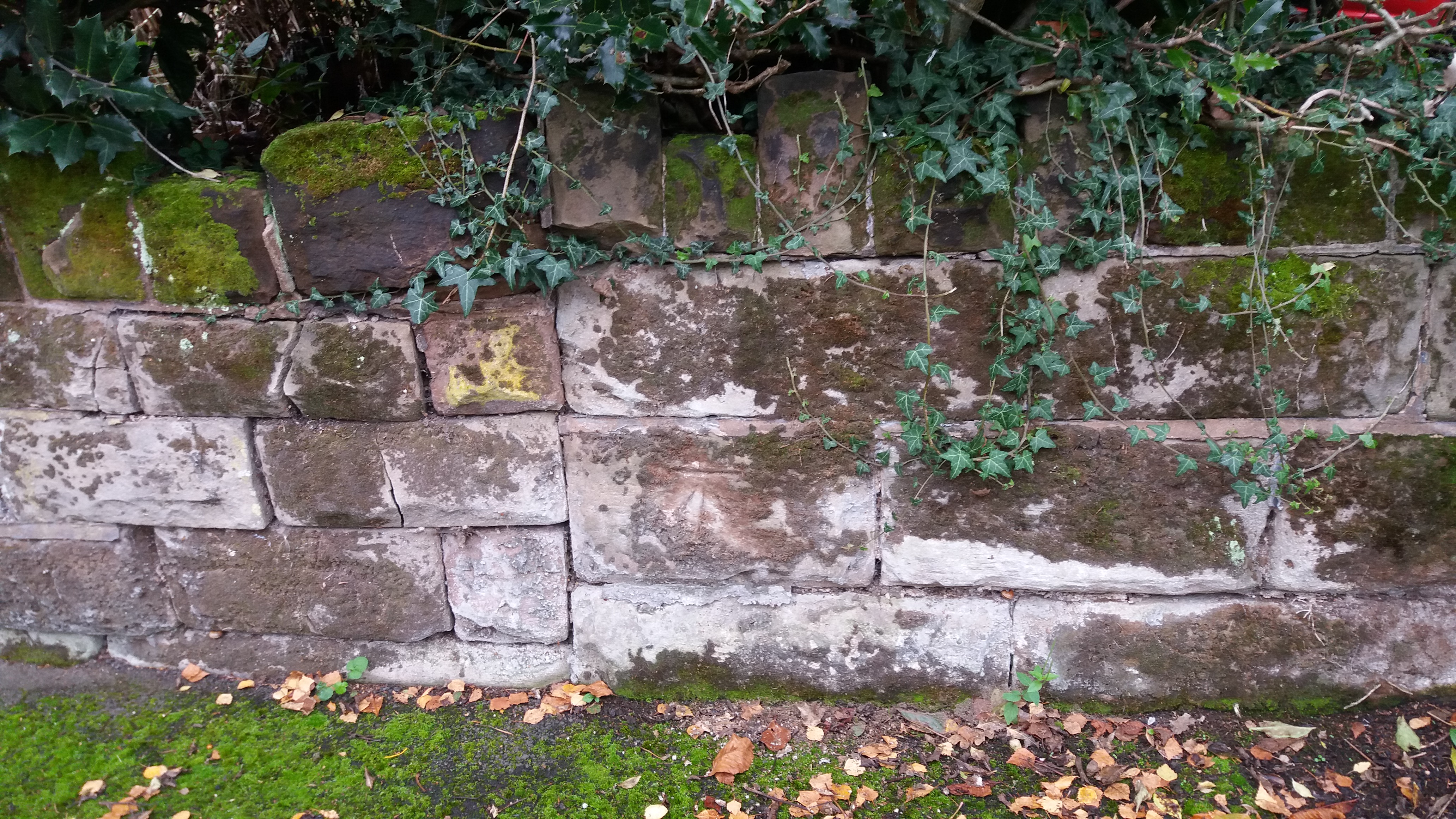
Benchmark on Sandstone Wall 39/41 St Agnes Road
Uploader's Comments
This benchmark appears on the 1939 1/2500 Ordnance Survey map at 488.91 feet above sea level. It is somewhat eroded because of weathering to the stone. These sandstone walls fronting residential gardens are a distinctive feature of the area and tend to be found on Victorian and Edwardian property.
Uploaded to Geograph by Paul Collins on 30 September 2017


