-
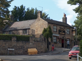
The Rose and Crown, Wadsley, Sheffield
-

The Rose and Crown Public House
The Rose and Crown, Wadsley, Sheffield
The Rose and Crown Public House
Location and coordinates are for the approximate centre of Wadsley within this administrative area. Geographic features and populated places may cross administrative borders.