-
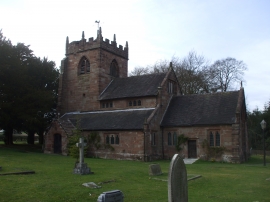
St Peter's Church, Broughton
-
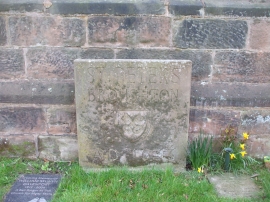
Stone "notice-board", St Peter's Church, Broughton
St Peter's Church, Broughton
Stone "notice-board", St Peter's Church, Broughton
Location and coordinates are for the approximate centre of Virginia Plantation within this administrative area. Geographic features and populated places may cross administrative borders.