-

Grazing near Lower Venton Farm
-
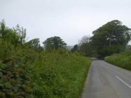
Ledgate Lane approaching Sparkwell Bridge
Grazing near Lower Venton Farm
Ledgate Lane approaching Sparkwell Bridge
Location and coordinates are for the approximate centre of Venton within this administrative area. Geographic features and populated places may cross administrative borders.