-
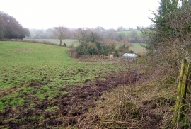
Field near Stoneyford
-
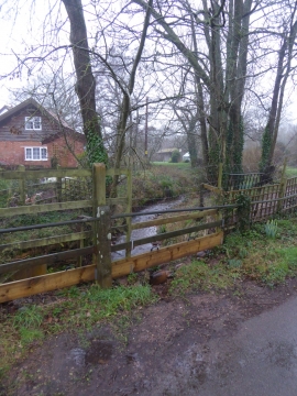
The stream at Stoneyford
Field near Stoneyford
The stream at Stoneyford
Location and coordinates are for the approximate centre of Vennings Copse within this administrative area. Geographic features and populated places may cross administrative borders.