-
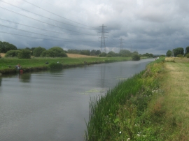
Fishermen on the River Rother
-
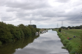
River Rother looking East from New Bridge
Fishermen on the River Rother
River Rother looking East from New Bridge
Location and coordinates are for the approximate centre of Varriers Wood within this administrative area. Geographic features and populated places may cross administrative borders.