-
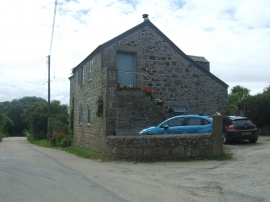
Cottage on Long Lane
-
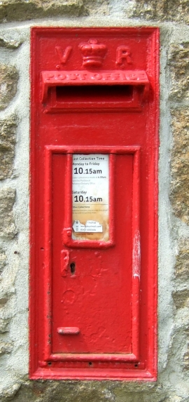
Victorian postbox on Long Lane
Cottage on Long Lane
Victorian postbox on Long Lane
Location and coordinates are for the approximate centre of Varfell within this administrative area. Geographic features and populated places may cross administrative borders.