-
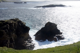
Vadament Stack, Flubersgerdie
-
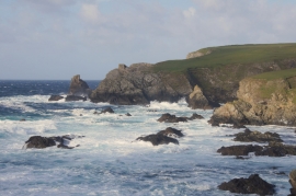
Valaberg at Flubersgerdie from west of Skate Stack
Vadament Stack, Flubersgerdie
Valaberg at Flubersgerdie from west of Skate Stack
Location and coordinates are for the approximate centre of Valaberg within this administrative area. Geographic features and populated places may cross administrative borders.