-

Speed restrictions on entering Balcombe
-
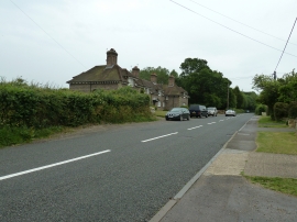
Stylish cottages on the southern end of Balcombe
Speed restrictions on entering Balcombe
Stylish cottages on the southern end of Balcombe
Location and coordinates are for the approximate centre of Upper Stumble Wood within this administrative area. Geographic features and populated places may cross administrative borders.