-
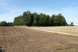
Lower Lanhan, Hampshire
-
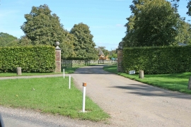
Lower Lanhan, Hampshire
Lower Lanhan, Hampshire
Lower Lanhan, Hampshire
Location and coordinates are for the approximate centre of Upper Lanham Copse within this administrative area. Geographic features and populated places may cross administrative borders.