-
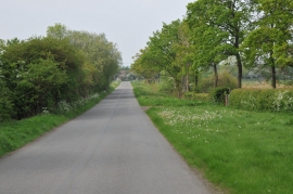
Country road near Stock Green
-
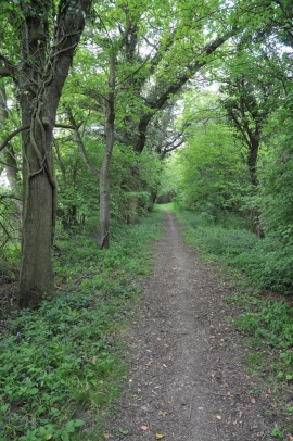
Bridleway to Upper Kite's Wood
Country road near Stock Green
Bridleway to Upper Kite's Wood
Location and coordinates are for the approximate centre of Upper Kite's Wood within this administrative area. Geographic features and populated places may cross administrative borders.