-
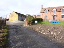
Hafod Farm
-
Hafod Farm from the south-west
Hafod Farm
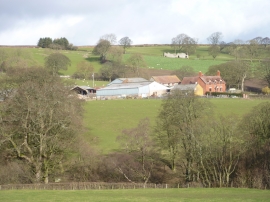
Hafod Farm from the south-west
Location and coordinates are for the approximate centre of Upper Dingle within this administrative area. Geographic features and populated places may cross administrative borders.