-
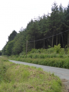
Upcott Plantations
-
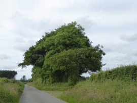
Trees and a field entrance south of Upcott Cross
Upcott Plantations
Trees and a field entrance south of Upcott Cross
Location and coordinates are for the approximate centre of Upcott Plantations within this administrative area. Geographic features and populated places may cross administrative borders.